“Average MPG”
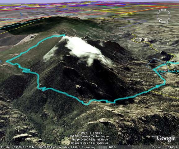
26 to 28 miles to the gallon is what Don and I got on this trip. My GPS read 15 miles for this hike while the guidebook specified 11 miles. With a slight detour we took of ½ mile, neither of us was quite sure of the final tally.
No, we were not driving, but I had made the decision to reduce my carbon footprint and gas consumption this summer by concentrating on hikes in the Lost Creek Wilderness by Lake George, Colorado. This expansive wilderness area is the closest one to Colorado Springs metro area, under 1 ½ hours form my home. Previously we had explored peaks and trails in this area such as South Tarryall Peak and the trail up Bison Peak
I had suggested Tarryall Peak as our next ascent working the wilderness area from south to north (closest to farthest). I planned this hike using Gerry Roach’s guidebook to the area, but could not find Tarryall Peak on any map except in his guidebook. On the summit we found a log book in a glass bottle but it said the peak was “Unnamed 11,500’” Did Roach name it? I do not know….
At any rate, with the length of this hike Don and I started early with a 5:30am meet in Woodland Park. This allowed for a chilly and brisk start at the trailhead at 6:20am. We walked quickly to warm up through the campground and crossed the river knowing that the first couple of miles of this hike were a gentle ascent.
We had used this same trailhead for our October 07 ascent of South Tarryall Peak. So when we arrived at the wilderness boundary sign as the sun started to hit us for the first time, we should have known to turn right and not go straight at a trail juncture. We went straight (wrong way) and had advanced at least a ¼ mile before we realized our mistake when we came upon a switchback neither of us remembered. Uggg, back up to the trail juncture with about 20 minutes lost.
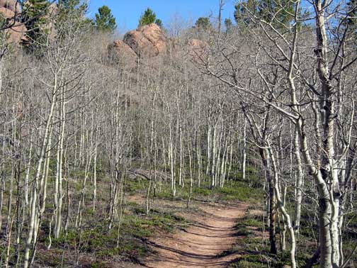
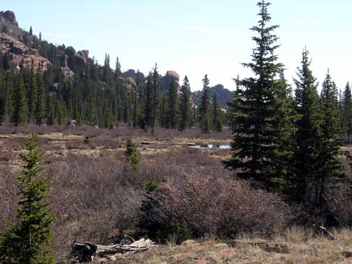
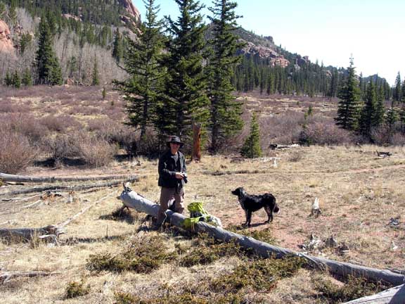
Now on the right trail again, we make Hankins pass amidst a grove of aspens which have not budded yet. Not quite spring here yet! We would turn left (north) at Hankins Pass and entered new territory for both of us. Steady up hill was the rule of the day as we continued up the excellent trail, sometimes straight up and sometimes using well-made switch backs. We climbed up to two distinct saddles and finally found ourselves in Lake Park, and high open meadow with a small lake and marsh area. Our original plan was to climb Lake Park Peak on the way back from our primary destination, but later altered those plans based on time. Now, as we entered the open area, Lake Park Peak was over our right shoulder as we took a short break near a large log aside the trail.
We looked at the map and reread the hiking directions to try and see our objective, but to be honest, I am not sure I ever actually figured out what rock summit was our goal as there were numerous options. After the break we continued around the wetland area and started the ascent out of the meadow on the north side. Our route description said to climb to an obvious saddle at 11,500’. The saddle turned out to actually be the second saddle we reached, but it certainly obvious based on the elevation off of Don’s watch which we had verified with my GPS.
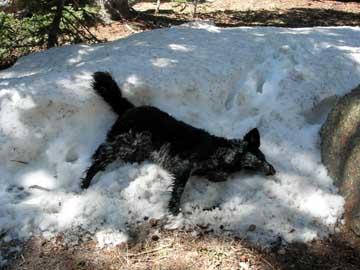
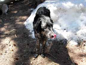
We stopped at this saddle so Don could fuel up and Molly the dog could cool off. Molly played dead dog in a deep snow bank digging and sliding her way across the cool snow. It was very entertaining to watch and the procedure worked as she appeared refreshed. I could not say the same for myself.
There were large snow drifts still present so we opted on the driest approach to the base of the final summit rocks where the guidebook said to climb an obvious gully to the summit ridge. As usual we found what was probably the wrong gully and began the final 200 ascent. It was steep, filled with deep snow in places and scree filled in others. Tough little 200’!
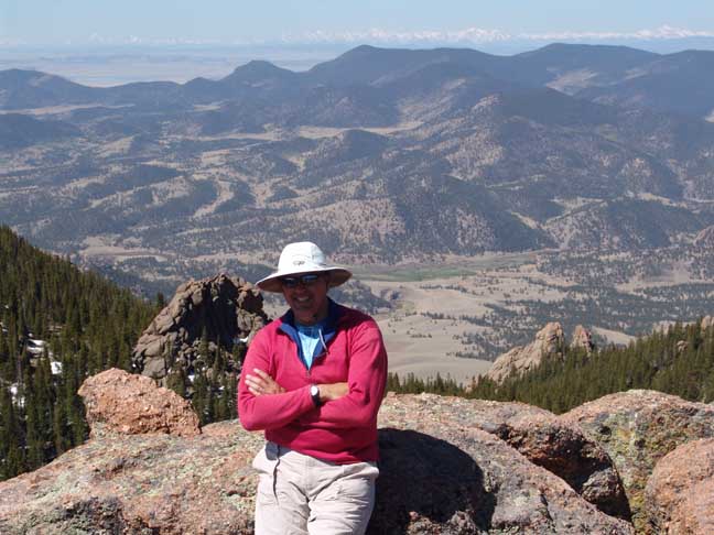
At the top, we found large rocks where some class 3 moves brought us to the small summit with a 360 degree vista. Once on top we saw the easier gully to the north…J Molly made some incredible 5th class moves (for a dog) but stopped one rock short of the summit unwilling to commit to a leap of faith without a harness, rope and belayer. She stayed about 10 feet away while we were on the summit perched quite calmly over an 80’ drop.
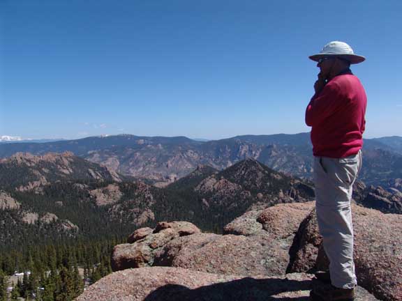
We enjoyed perfect weather on top and wonderful views and for once I was in no hurry to get off. We each made a patch phone call through our HAM radios to our respective homes and gave them our status and location. (We are on the summit and a LONG way from the trailhead!)
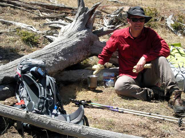
After taking some pictures and signing the register, we gathered ourselves for the departure. I retraced our route over to Molly and then Don said Molly made the leap and they would go down the easier gully. J I continued down our ascent route and we met at the same time at the bottom. At the saddle we descended back down to the meadow area reclaiming our large log. Don went about filling up his water bottle from the lake (via a filter) and preparing thanksgiving dinner for himself on a combination of stoves designed for emergency uses. His “dinner” consisted of a chicken and rice freeze dried meal. I took the time just to relax from the previous 5 hours of effort in an attempt to get my appetite back so I could fuel for the journey back. After Don had completed his gourmet snack, we headed down and crossed under Lake Park peak opting to leave it for another day.

